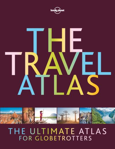
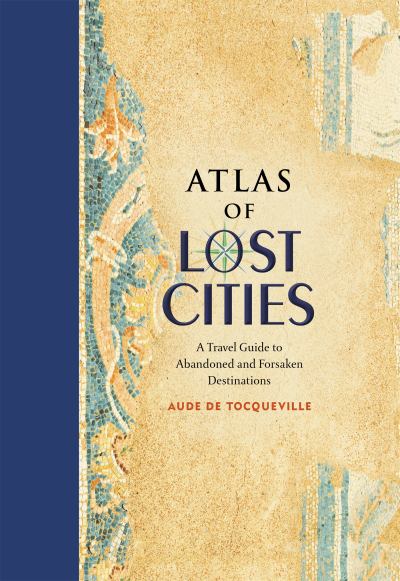
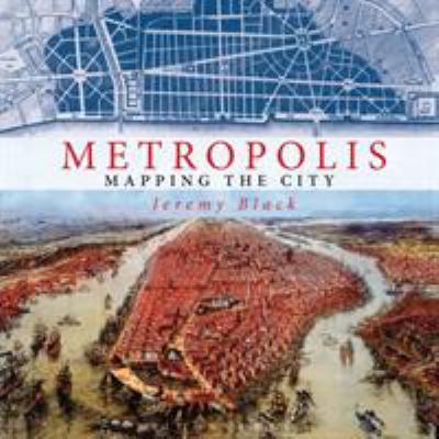
The Maps and Atlases Library - Carousel

The Maps and Atlases Library - Carousel

The Maps and Atlases Library

Take a voyage of discovery and learn more about our world, its geography and how people have mapped it over the ages

The Maps and Atlases Library

The Maps and Atlases Library

The Maps and Atlases Library is one of the most comprehensive libraries of its kind in the region, with a growing collection of more than 2,600 printed maps and travel publications, manuscripts and digital media in a wide range of languages. Due to its visual appeal and varied collection, this library is sure to enthrall and entertain academic, professional and casual visitors alike.


You'll find the Maps and Atlases Library located on the First Floor of the building, next to the Young Adults Library and opposite the Media and Arts Library. Although no items are allowed to be checked out of this library, you are free to browse the main collection and remove maps and atlases from the shelves to view in the reading spaces provided.


Our collection includes many different printed and digital formats, such as atlases and travel books, modern and classical travel narratives, large format folded and flat maps, digital copies of current and historical maps. You will also find a variety of modern travel guides from publishers such as Bradt, Fodors, Frommers, Monocle, Lonely Planet and Rough Guides.


Due to the fragile nature of some of our older and rarer maritime, celestial and terrestrial maps and atlases, there are also items stored in the Special Collections Library or on display in the Treasures of the Library exhibition on the Seventh Floor.

The Maps and Atlases Library

The Maps and Atlases Library - Exhibitions

Exhibitions

Seek inspiration by joining our exhibitions and events

We are developing a full calendar of exhibitions and events to include arts, culture, literature, media, music and more. Become a member to receive the latest information about our upcoming events.


Treasures of the Library

Our Treasures of the Library permanent exhibition on the Seventh Floor, displays a fascinating collection of rare and antiquarian books, atlases, and manuscripts dating back to the 13th century. The collection includes unique editions of the Holy Quran, early print editions of world literary classics and Latin translations of scholarly works from the Islamic Golden Age.

Among the rare exhibits is the first edition of Blaeu's Atlas Maior the crowning achievement of the famous 17th century Dutch cartographer Johannes Blaeu. Containing approximately 600 individual maps, the atlas was published in 1662 in eleven volumes. Experts regard the Atlas Maior as the most lavish atlas ever produced and it is certainly one of the most beautiful.

The Treasures of the Library also holds a first edition of Napoleon's Description de l'Égypte, an encyclopedic record of Egypt's antiquities, natural history and 18th century nation state. The publication's 34 volumes were produced by a team of hundreds of artists, scholars, engravers and other specialists during Napoleon Bonaparte's 1798-1801 military campaign in Egypt. The Description de l'Égypte is considered one of the greatest achievements of French publishing and a valuable historical record of 18th century Egypt.


Temporary exhibitions

Our Seventh Floor exhibitions area also provides space for temporary exhibitions and events. Check our event calendar for updates.

The Maps and Atlases Library - Exhibitions

The Maps and Atlases Library - Scanning Services

The Maps and Atlases Library - Scanning Services

Photoduplication Services

This service is provided using a variety of cutting-edge photocopying machines, printers and scanners. Please inquire about the closest photocopying machines, or ask for support from the library staff.

MBRLContentLatestEditions