Catalogue Search | MBRL


Are you sure you want to remove the book from the shelf?

{{itemTitle}}
71
result(s) for
"McIntosh, Gregory C."
Sort by:

Two sixteenth-century nautical charts of the South Atlantic Ocean: an early example of cartography used at sea
Despite the crucial role played by nautical cartography during the 16th-century Iberian Expansion, surviving examples of charts used at sea are extremely rare, leaving gaps in our knowledge of how they were used in practice during this pivotal period. The present paper sheds light on this matter by introducing one of earliest extant Portuguese charts presenting positional fixes, which have so far gone unnoticed by researchers: the anonymous chart of about 1524 kept at the James Ford Bell Library. It is demonstrated that a second chart, kept at the Harry Ransom Center, was made by the same author from the same pattern. The production context of the charts is evidenced through a description of the manuscript copying technique most likely employed, and the rules governing chart manufacture in 16th-century Portugal. Exceptional aspects of the charts’ placenames are discussed, and a possible source for their geographical design is identified.
Journal Article

Kunstmann III: The Oldest Known Nautical Chart Incorporating Latitudes
Among the few Portuguese charts surviving from the turn of the sixteenth century, the now lost Kunstmann III chart is the most enigmatic. Not only is it undated and unsigned but also its cartographical style differs greatly from the best-known contemporary Portuguese charts, namely those by Jorge de Aguiar and Pedro Reinel, as well as the Cantino planisphere. Although Kunstmann III has been studied by various twentieth-century authors, none has addressed in depth its distinctive features: the presence of four different handwritings, the depiction of a latitude scale for the Northern Hemisphere only, and the geometry of the African coastline. Contradicting the usually accepted dating of 'after 1506', we argue that the Kunstmann III chart was most probably started around 1500 and remained a living document for some years thereafter, with new places-names added by other individuals at later times. We further show, based on the assessment of its geometry and a comparison with other charts, that Kunstmann III is the oldest known chart incorporating observed latitudes of places and containing a primitive non-astronomical depiction of the southwestern and southern coasts of Africa, based on the first voyage of Vasco da Gama to India in 1497. This makes Kunstmann III a hitherto unrecognized link in the transitional period between two different cartographical models.
Journal Article

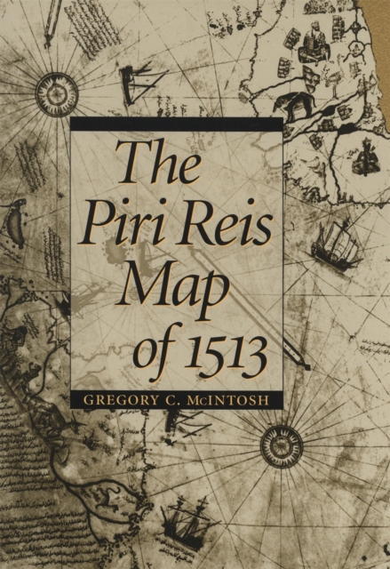
The Piri Reis map of 1513
One of the most beautiful maps to survive the Great Age of Discoveries, the 1513 world map drawn by Ottoman admiral Piri Reis is also one of the most mysterious. Gregory McIntosh has uncovered new evidence in the map that shows it to be among the most important ever made.
This detailed study offers new commentary and explication of a major milestone in cartography. Correcting earlier work of Paul Kahle and pointing out the traps that have caught subsequent scholars, McIntosh disproves the dubious conclusion that the Reis map embodied Columbus's Third Voyage map of 1498, showing that it draws instead on the Second Voyage of 1493-1496. He also refutes the popular misinterpretation that Reis's depictions of Antarctica are evidence of either ancient civilizations or extraterrestrial visitation. McIntosh brings together all that has been previously known about the map and also assembles for the first time the translations of all inscriptions on the map and analyzes all place-names given for New World and Atlantic islands. His work clarifies long-standing mysteries and opens up new ways of looking at the history of exploration.
eBook
The Piri Reis Map of 1513
One of the most beautiful maps to survive the Great Age of Discoveries, the 1513 world map drawn by Ottoman admiral Piri Reis is also one of the most mysterious. Gregory McIntosh has uncovered new evidence in the map that shows it to be among the most important ever made. This detailed study offers new commentary and explication of a major milestone in cartography. Correcting earlier work of Paul Kahle and pointing out the traps that have caught subsequent scholars, McIntosh disproves the dubious conclusion that the Reis map embodied Columbus's Third Voyage map of 1498, showing that it draws instead on the Second Voyage of 1493-1496. He also refutes the popular misinterpretation that Reis's depictions of Antarctica are evidence of either ancient civilizations or extraterrestrial visitation. McIntosh brings together all that has been previously known about the map and also assembles for the first time the translations of all inscriptions on the map and analyzes all place-names given for New World and Atlantic islands. His work clarifies long-standing mysteries and opens up new ways of looking at the history of exploration.
eBook

Incorporating fractal concepts into equations of attrition for military conflicts
Using an agent-based model as a 'battlefield laboratory', we explore equations of combat attrition which extend beyond the conventional Lanchester equations and which endeavour to encapsulate the more complex aspects of warfare. Our approach compares predictions from candidate attrition equations with casualty data generated artificially from an agent-based model. For situations where the initial regimented structure of the fighting forces breaks down, introducing fractal concepts into the attrition equations proves effective at encapsulating complex aspects of the battle; with details in the time dependence of the casualty data able to be reproduced. Furthermore, measuring the fractal dimension of a fighting force's spatial distribution on the battlefield provides a sensitive probe of the combatants' behaviour. Precise times at which key events occur during a battle can be pinpointed. This study furthers the body of work which considers warfare as a complex adaptive system and where fractal-like structures are expected to emerge.
Journal Article


The Atlantic Islands
Typical of portolan charts of the fifteenth and sixteenth centuries, the major island groups of the Atlantic—the Azores, the Canaries, and the Cape Verde Islands—are shown and named on the Piri Reis map along with other real and imagined islands. The islands of Madeira, Porto Santo, and the Deserta Group are also shown but not named. An unidentified island is shown midway between the Azores and Madeira that may be one of the legendary islands, such as St. Brendan’s Isle, Capraria, or Lobo, often shown in this location on fifteenth-century portolan charts.¹ A small, unnamed island is also
Book Chapter
Hispaniola and the Bahamas
According to Piri Reis in inscription no. 6, he used a map by Columbus for part of the depiction of the western regions, or New World. An analysis of the depiction of Hispaniola, the Bahamas, and Cuba indicates that this is probably correct and that a copy of a map made by Columbus or under his supervision, possibly in 1495–96 (not 1498, as Kahle asserted), is preserved within the Piri Reis map of 1513.
On the map, the depiction of Hispaniola does not at first glance appear to resemble the true shape of Hispaniola. It can be identified, however,
Book Chapter