Catalogue Search | MBRL


Are you sure you want to remove the book from the shelf?

{{itemTitle}}
213
result(s) for
"الأرصاد الجوية"
Sort by:
Identification and Removal of Clouds from MODIS Data
أصبحت تطبيقات الاستشعار عن بعد الأكثر شيوعا خلال العقود القليلة الماضية. لكن العائق الأكثر أهمية في الرصد إزالة الغطاء من خلال الأقمار الصناعية يكون في تحديد و الحسابي. و في هذه الدراسة تم اكتشاف مقدرة جهاز مقياس الطيف لدقة التصوير (MODIS) لرصد السمات السطحية. إذ وحد أن السحاب و الثلج لهما نفس الانعكاسية و غالبا متشابهان في درجة و اعتمادا على معلومات الحرارة عند مدى طول موجي معين. الغطاء السطحي و خرائط الغطاء الثلجي تم مقارنة ذلك مع جهاز مقياس الطيف لدقة التصوير (MODIS) لنتاج الغطاء الثلجي للفترة من 2000 إلى 2008م. و تضمنت الخرائط استعمال مؤشر معدلٕ إزالة وحدة سو اختلاف الثلج و أداء، إخفاء السحاب إزالة وحدة ماء، و اعتمادا على النهج الحر. يوضح التحليل الفردي أن الخرائط كافية ً لتحديد الثلج حتى في وجود السحاب، حيث السحب أو الماء عند مستوى وحدة فرعية ربما تعطي مؤشر سحابي كاذب. و يقسم المتوسط، التقدير اليدوي أكثر من 2.2 ٪ وحدة ثلج مقارنة بمنتج الثلج من جهاز مقياس الطيف لدقة التصوير (MODIS) .بالمقارنة مع وحدات السحب و منتج الثلج من جهاز مقياس الطيف لدقة التصوير (MODIS) له دقة أكثر تحديد 2.9 وحدات سحب.
-Application of satellite remote sensing has been very
frequent in past few decades. However, the most important
constraint in monitoring through satellite sensor is the identification
and removal of cloud cover. In this study ability of the Moderate
Resolution Imaging Spectroradiometer (MODIS) to monitor surface
features is investigated. For a range of wavelength, both snow and
cloud has similar reflectance and often a comparable temperature.
Snow cover mapping algorithms, based on land cover information,
are developed and compared with MODIS snow product for the
period of 2000 to 2008 in current study. Algorithms involved the use
of Normalized Difference Snow Index (NDSI), water pixel removal,
dark pixel removal and cloud masking based on liberal approach.
Individual analysis revealed that the algorithm is successful in
identifying snow even in the presence of clouds where ice or water
at sub-pixel level may falsely indicate cloud. On average, manual
assessment classified 2.2% more pixels as snow as compared to the
snow product or MODIS snow product. In comparison to the pixels
comprising clouds, MODIS snow product has identified 2.9% more
pixels as cloudy
Journal Article

Evaluation of Summer Season Characteristics and its Changes in Iraq over the Period \1960-2021\
Anthropogenic climate change has essentially affected the characteristics of the thermal seasons, hence the overall ecosystems, and human health. The characteristics of the thermal seasons in Iraq, and how they change are still unclear. This research has been conducted to: (1) evaluate the spatial characteristics of summer season in Iraq over the period (1960-2021). (2) Estimating changes in the length and timing (onset and end) of summer in Iraq using the Mann-Kendall test (MK) and Sen's slope estimator. The findings indicated that there are significant spatial differences in the average length of the summer season in Iraq. The difference reaching more than 30 days between northern and southern Iraq, It is longer in the south. Results of trend analysis showed that summer season length significantly increases by 3.33 and 6.67 days/decade respectively. Our results reveal that, all over Iraq, the onset of thermal summer season occurs earlier by more than 17 days during (1960-2021). The biggest statistically significant changes in summer advancing were observed in northern and western Iraq. However, the results revealed that the only western Iraq has been recorded advancing at the end of the summer, while the end of the summer at all other parts occurred later.
Journal Article

علم المناخ التحليلي
يتناول كتاب (علم المناخ التحليلي) والذي قام بتأليفه (الأستاذ الدكتور علي حسن موسى) في حوالي (424) صفحة من القطع المتوسط موضوع (المناخ) مستعرضا المحتويات التالية : الفصل الأول بعنوان بنية الجو وتركيبه، الفصل الثاني بعنوان الطاقة الشمسية المصدر الحراري للأرض، الفصل الثالث بعنوان درجة الحرارة، الفصل الرابع بعنوان الضغط الجوي، الفصل الخامس بعنوان الرياح، الفصل التاسع بعنوان الرطوب، الفصل العاشر بعنوان التكاثف ومظاهرة، الفصل الحادي عشر بعنوان التهطال.
Book

Bioclimate of Jericho in Palestine
Jericho is an ancient Canaanite Palestinian city and one of the oldest cities in history, which dates back to more than 10.000 BC (Stone Age). It is located near to the Jordan River, north of the Dead Sea, and north of Jerusalem. Moreover, it considered the lowest area in the earth and has a unique climatic zone. during the study period (1975-1995), was utilized the Salvador Rivas Martinez scale to classify the bioclimate of the earth to analysis the climate and bioclimate data, which was obtained from one station from Palestinian Meteorology Department (Jericho station). The results revealed that the mean monthly temperature was 22.4 0C, mean maximum temperature was 34.8 0C, mean monthly minimum temperature was 15.3 0C, the value of the annual ombrothermic index was 0.6, the compensated thermicity index is very high around 1209/1209 and the simple continentality index was 16.7. The bioclimate of Jericho is located within the zones of the thermal model under the inframediterranean basin, the dry and arid regions. Jericho is belong to Mediterranean desertic-oceanic, the latitudinal belt as subtropical, while continentality is oceanic-low eu-oceanic.
Journal Article
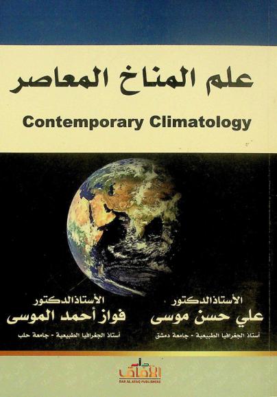
علم المناخ المعاصر
كتاب \"علم المناخ المعاصر\" للأستاذ الدكتور علي حسن موسى والأستاذ الدكتور فواز أحمد الموسى يتناول دراسة المناخ وتغيراته من منظور علمي حديث. يغطي الكتاب الأسس العلمية لفهم المناخ، بما في ذلك العوامل المؤثرة على المناخ العالمي والمحلي، والتغيرات المناخية عبر الزمن. كما يناقش تأثيرات المناخ على البيئة والإنسان، ويستعرض الأدوات والتقنيات المستخدمة في دراسة المناخ وتحليل البيانات المناخية. يتناول الكتاب أيضا التحديات البيئية المرتبطة بالتغير المناخي، ويقدم استراتيجيات للتكيف مع هذه التغيرات والتخفيف من آثارها السلبية. يعتبر الكتاب مرجعا مهما للطلاب والباحثين في مجال الجغرافيا والعلوم البيئية.
Book

المنخفضات الجوية وأثرها في حدوث موجات الحر في محافظة المثنى
يهدف البحث إلى دراسة تأثير المنخفضات الجوية في حدوث موجات الحر في محافظة المثنى، تكون البحث من ثلاثة مباحث، تناول المبحث الأول المنخفضات الجوية المؤثرة على محافظة المثنى، وتطرق المبحث الثـاني إلى موجات الحر في محافظة المثنى، وناقش المبحث الثالث أثر المنخفضات الجوية في حدوث موجات الحر في محافظة المثنى، توصل البحث إلى أن معظم موجات الحر البالغ مجموعها ٣٨ موجة حر سببها المنخفضات الجوية، رافق حدوث أغلب موجات الحر التي تحدث في أشهر حزيران، تموز، آب، منخفض الهندي الموسمي، يليه المنخفض السوداني.
Journal Article