Catalogue Search | MBRL


Are you sure you want to remove the book from the shelf?

{{itemTitle}}
130
result(s) for
"المناطق الجافة"
Sort by:


Comparative Analysis of the Water Balance of Drainage Basins in Arid Regions
This research provides an estimate and analysis of the water balance in Wadi Bishah and Wadi Itwad basins in Asir region (KSA). The study is based on the integrated employment of maximum daily rain data for the period (1980-2017) in a total of 10 rain stations belonging to the Ministry of Agriculture, Water and Environment, the land resources map, and the NRCS-CN model. The study came up with that the daily average of maximum rainfall (1980-2017) in (10) rainfall precipitation stations under the study- (7) rainfall precipitation stations in the Wadi Bishah basin and (3) rainfall precipitation stations in the Wadi Itwad basin.-the statistical properties of the maximum daily rain data extracted were identified, analyzed and used in calculating the water balance components by applying the NRCS-CN model. The study managed to employ the land resources map for both Wadi Bishah and Wadi Itwad basins in extracting the weighted soil curve number in each basin. The weighted soil curve number in each basin was utilized in calculating the maximum energy for water retention in the soil and the initial extraction factor that both adopted in calculating the components of the water balance by applying the aforementioned model. In conclusion, the study managed to determine/identify the weighted soil curve number for Wadi Bishah and Wadi Itwad basins and made use of it to estimate the components of the water balance and representing its spatial distribution on a map.
Journal Article
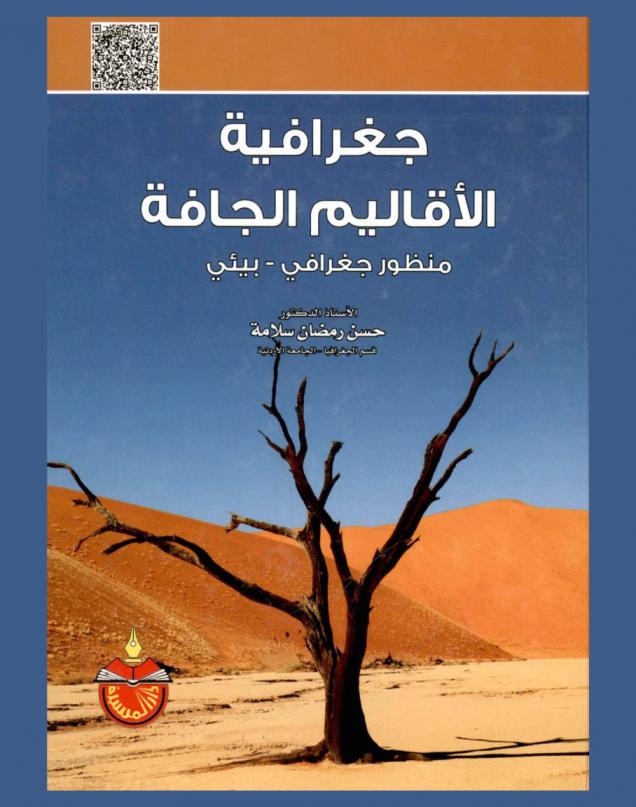
جغرافية الأقاليم الجافة : منظور جغرافي-بيئي
يعالج هذا الكتاب عشرة مواضيع رئيسة تتناولها عشرة فصول يناقش الفصل الأول منها أهمية الأراضي الجافة ومفاهيم الجفاف ومسبباته أما الفصل الثاني فيشرح الظروف المناخية والمزايا الحرارية التهطالية فيما يتناول الفصل الثالث أشكال الأرض الصحراوية وخصائصها الجيومورفولوجية العامة وفي الفصل الرابع تمت معالجة غطاءات الأرض الحيوية والتربة في حين تم شرح الموارد المائية الصحراوية في الفصل الخامس والخصائص الديموغرافية وأنماط التوزيع السكاني في الفصل السادس كما تناول الفصل السابع الموارد الزراعية للأراضي الجافة ليتطرق الفصل الثامن إلى إنتاجها الصناعي فيما تعرض الفصل التاسع إلى أهم مشكلاتها البيئية واختتم الفصل العاشر مواضيع الكتاب بمناقشة أوضاع الغطاءات الأرضية الجافة والمشاكل التي تواجه إدارتها البيئية وتنميتها ومستقبلها المتوقع.
Book

The Valorization of Local Products in Arid Zones
The goal of our research is to try to understand the realities of small agro-food businesses in arid zones, namely through a small business in Messaad in the Wilaya of Djelfa, that specializes in the production and commercialization of date jam. It also aims to increase the value of local agricultural products as an important lever of local economic by embedding itself in a sustainable strategy. The methodological approach used is the three E's: enterprise, entrepreneur, and environment, which necessitates the use of a few tools available in the field of entrepreneurship, namely :The entrepreneur profile and entrepreneurial spirit ;The small business (forces and weaknesses ;The environment opportunities and threats. The observation allowed us to confirm that entrepreneurship encouragement and support are the keystone for promoting local products in these regions.
Journal Article


Using horizontal subsurface flow constructed wetland system in the treatment of municipal wastewater for agriculture purposes
Reuse of treated wastewater for irrigation purpose can reduce high pressure on freshwater
resources. A horizontal subsurface flow constructed wetland (HSSF CW) system filled with
gravel and planted with Phragmites Australia was used to treat the real wastewater at Al-
Rustumia wastewater treatment plant. Some characteristics of wastewater such as
biochemical oxygen demand, phosphate and total suspended solids have been monitored from
15 January until 8 July 2018. The results proved that HSSF unit has a good efficacy in the
reduction of previous parameters with removal of 84.2, 55.4 and 72.7% while sulphate and
total dissolved solids were less removal efficiency with 3.3 and 0.99 % respectively. The
measured values of these parameters were within the permissible limits suitable for irrigation
purposes.
Journal Article