
Catalogue Search | MBRL


Are you sure you want to remove the book from the shelf?

{{itemTitle}}
583
result(s) for
"Archaeology and history -- England"
Sort by:

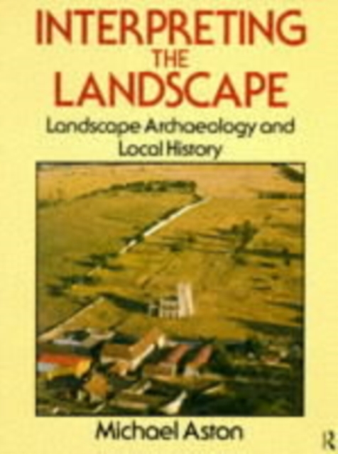
Interpreting the Landscape
Most places in Britain have had a local history written about them. Up until this century these histories have addressed more parochial issues, such as the life of the manor, rather than explaining the features and changes in the landscape in a factual manner. Much of what is visible today in Britain's landscape is the result of a chain of social and natural processes, and can be interpreted through fieldwork as well as from old maps and documents.Michael Aston uses a wide range of source material to study the complex and dynamic history of the countryside, illustrating his points with aerial photographs, maps, plans and charts. He shows how to understand the surviving remains as well as offering his own explanations for how our landscape has evolved.
eBook


Finding Shakespeare’s New Place
This book provides an abundance of fresh insights into Shakespeare's life in relation to his lost family home, New Place. It first covers the first 6,000 years of the site, from its prehistoric beginnings through its development into a plot within the economic context of early medieval Stratford-upon-Avon, and the construction of the first timber-framed building. The book then describes the construction and distinctive features of Hugh Clopton's brick-and-timber house, the first New Place. Stratford-upon-Avon gave Shakespeare a deeply rooted love of family, loyal neighbours and friends, and although he came to enjoy a prominent social standing there, he probably had little or no time at all for its puritanical side. The book provides a cultural, religious and economic context for Shakespeare's upbringing; education, work, marriage, and early investments up to his son, Hamnet's death, and his father, John Shakespeare, being made a gentleman. It discusses the importance of New Place to Shakespeare and his family during the nineteen years he owned it and spent time there. The book also takes us to just beyond the death of Shakespeare's granddaughter, Elizabeth, Lady Bernard, the last direct descendant of Shakespeare to live in the house. It further gives an account of James Halliwell's acquisition of the site, his archaeology and how New Place has become an important focus for the local community, not least during the 'Dig for Shakespeare'.
eBook

Acorns and bitter roots : starch grain research in the prehistoric Eastern Woodlands
People regularly use plants for a wide range of utilitarian, spiritual, pharmacological, and dietary purposes throughout the world. Scholarly understanding of the nature of these uses in prehistory is particularly limited by the poor preservation of plant resources in the archaeological record. In the last two decades, researchers in the South Pacific and in Central and South America have developed microscopic starch grain analysis, a technique for overcoming the limitations of poorly preserved plant material. In Acorns and Bitter Roots , Timothy C. Messner establishes starch grain analysis in the temperate climates of eastern North America using the Delaware River Watershed as a case study for furthering scholarly understanding of the relationship between native people and their biophysical environment in the Woodland Period. Messner’s analysis is based on extensive reviews of the literature on early historic and prehistoric native plant use and the collation of all available archaeobotanical data, a review of which also guided the author in selecting contemporary botanical specimens to identify and in interpreting starch residues recovered from ancient plant-processing technologies. The evidence presented here sheds light on many local ecological and cultural developments as ancient people shifted their subsistence focus from estuarine to riverine settings. These archaeobotanical datasets, Messner argues, illuminate both the conscious and unintentional translocal movement of ideas and ecologies throughout the Eastern Woodlands.
eBook

Archaeological Investigations at South Quay, Hayle
Archaeological work took place on South Quay, Hayle between 2010
and 2014. The development of Hayle started in the mid-18th century
and it soon became a significant industrial centre. South Quay was
constructed in 1818 by the locally influential and entrepreneurial
Harvey family and was located adjacent to their large iron foundry.
Activity on the quay evolved with, from the 1830s, the Harvey
family becoming involved in ship building. This took place on newly
constructed slipways connected to the quay. By the 1840s, wharfs,
many other structures and buildings were established on the quay,
all linked by rail tracks enabling products to be efficiently sent
across the trading world.
The decline in South Quay from c1860 was slow and little
substantial new development occurred except for a short-lived
industrial redevelopment of part of the site in the 1970s. The quay
later became derelict and there was substantial fly tipping.
Archaeological examination found that under the ground surface
there were large areas where fragile historic remains and artefacts
had survived such as 19th century rail tracks, chains and anchors.
Other archaeological work undertaken included recording features
such as the walls of the quay, which had been modified over time.
Walls that had been part of the docks and slipways were exposed.
Additionally, the former Carnsew Channel leading off South Quay was
revealed and remains of its sluice gates, which was attached to the
quay, were drawn. An 'Accommodation' bridge had been constructed
within the quay during WWII to aid the assembly of 'Rhinos' in
preparaton of D-Day in 1944, and was examined before it was
removed.
This publication has extensively used cartographic, photographic
and documentary records to place the archaeological and structural
features uncovered into context. The importance of these industrial
remains has been shown by the fact that the former port of Hayle,
including South Quay, had gained World Heritage status.
eBook

Bronze Age barrow and pit alignments at Upton Park, south of Weedon Road, Northampton
MOLA (Museum of London Archaeology) was commissioned by RPS
Group PLC, on behalf of Morris Homes, to undertake archaeological
work on land at Upton Park south of Weedon Road, Northampton.
Two adjacent palaeochannels crossed the western extent of the
site and are likely to have dated to the Pleistocene period. The
earliest evidence of human activity consisted of a background
scatter of Neolithic flint. The first feature was an isolated
barrow that was established in the early Bronze Age. A later
unurned cremation was cut into the backfill of the recut ditch and
radiocarbon dated to the end of the early Bronze Age or the
beginning of the middle Bronze Age. At least one isolated early
Bronze Age pit was found in another part of the site.
Parts of two late Bronze Age/early Iron Age sinuous pit
alignments were recorded over nearly 0.5km within the site with
c 257 pits revealed. An estimated 66% of these pits by
volume were examined. This is the first time in the county since
Wollaston Quarry in the 1990s that pit alignments were seen over
such a distance within a single planning application. The
archaeological excavation of these has resulted in them being by
some distance the two most examined pit alignments in the county,
if not the region. Both had most likely fallen out of use by the
early Iron Age, but a middle Iron Age date should not be ruled out.
In the northern and southern pit alignments there were 16 and seven
areas respectively where there were different variables in the pits
such as circular or rectangular plan form (and some pit areas had
be recut by ditches), which may suggest they had been constructed
and maintained by different gangs/communities over probably
hundreds of years.
Relatively little detailed work has been recorded on this
enigmatic feature type. The extensive work and examination of the
two pit alignments at Upton has allowed a typology of the variable
areas of pits (and related ditches) to be postulated. A detailed
discussion has compared these features in a local, regional and
national context. Future recommendations for excavation of pit
alignments have been recorded.
A Roman trackway lay within the western part of the development
area and it was part of the routeway network located around the
nearby Duston Roman town. Medieval drainage ditches and field
systems relating to part of the medieval settlement of Upton lay
within the eastern part of the development area.
eBook
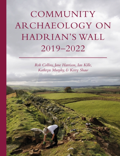
Community Archaeology on Hadrian's Wall 2019-2022
The Hadrian’s Wall Community Archaeology Project (WallCAP) was funded by the National Lottery Heritage Fund to promote the value of heritage – specifically of the Hadrian’s Wall World Heritage Site – to local communities and provide opportunities for volunteers to engage with the archaeology and conservation of the Wall to better ensure the future of the monument.This short book provides a summary of the project, communicating the range of activities undertaken during the project and key results. The structure and aims of the project are communicated, and an overview of the many different people and communities that participated are explored. Archaeological fieldwork resulted in a number of new discoveries and insights into Hadrian’s Wall. Revolutionary new work to explore the stones of Hadrian’s Wall, its source geology and how stones were reused from the monument is also discussed. Each chapter is supported by full color illustrations and contributions from project volunteers also bring the project into a vibrant focus.
eBook

The North Pennines from Prehistory to Present
The first comprehensive survey of the archaeology of the North Pennines, from Mesolithic to modern times. Traces of 10,000 years of human activity survive today, including flint scatters at Mesolithic campsites, earthworks of prehistoric and later settlements and field systems, and extensive remnants of the post-medieval 'miner-farmer' landscape.
eBook

Ethnic Identity and the Archaeology of the aduentus Saxonum
For centuries, archaeologists have excavated the soils of Britain to uncover finds from the early medieval past. These finds have been used to reconstruct the alleged communities, migration patterns, and expressions of identity of coherent groups who can be regarded as ethnic 'Anglo-Saxons'. Even in the modern day, when social constructionism has been largely accepted by scholars, this paradigm still persists. This book challenges the ethnic paradigm. As the first historiographical study of approaches to ethnic identity in modern 'Anglo-Saxon' archaeology, it reveals these approaches to be incompatible with current scholarly understandings of ethnicity. Drawing upon post-structuralist approaches to self and community, it highlights the empirical difficulties the archaeology of ethnicity in early medieval Britain faces, and proposes steps toward an alternative understanding of the role played by the communities of lowland Britain - both migrants from across the North Sea and those already present - in transforming the Roman world.
eBook