Catalogue Search | MBRL


Are you sure you want to remove the book from the shelf?

{{itemTitle}}
5,875
result(s) for
"Boroughs"
Sort by:
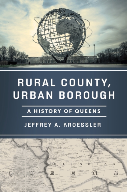
Rural County, Urban Borough
Once wetlands, Queens today is a crowded cityscape of dense urban neighborhoods and suburban sprawl. The largest of New York City's five boroughs by area, it has a larger population than every American city except Chicago, Los Angeles, and New York City itself. It possesses the most culturally, ethnically, linguistically, and religiously diverse population in the United States and possibly the world. This is the story of Queens, \"the world's borough,\" and how it transformed, in less than one hundred years, from an agricultural hinterland to a vital urban corridor. Rural County, Urban Borough is a history of place, charting the rapid transformation of the Queens landscape. It identifies what drove the borough's development, from public infrastructure, architecture, and transportation to technological innovation and urban planning. New York historian Jeffrey A. Kroessler takes us inside the backrooms and boardrooms where local powerbrokers shaped the borough's future, chronicling how its relationship with the city has evolved. He also shows the steps Queens residents from all backgrounds took to care for their neighborhoods and build their communities. Richly illustrated, this book underscores why Queens is integral to New York City and the wider world and reveals how, in its evolution, we see the whole arc of American urban history.
eBook

Panic on the Streets of London: Police, Crime, and the July 2005 Terror Attacks
In this paper we study the causal impact of police on crime, looking at what happened to crime and police before and after the terror attacks that hit central London in July 2005. The attacks resulted in a large redeployment of police officers to central London as compared to outer London. During this time, crime fell significantly in central relative to outer London. The instrumental variable approach we use uncovers an elasticity of crime with respect to police of approximately -0.3 to -0.4, so that a 10 percent increase in police activity reduces crime by around 3 to 4 percent. JEL: K42
Journal Article

Crime and the Depenalization of Cannabis Possession: Evidence from a Policing Experiment
We evaluate the impact on crime of a localized policing experiment that depenalized the possession of small quantities of cannabis in the London borough of Lambeth. We find that depenalization policy caused the police to reallocate effort toward nondrug crime. Despite the overall fall in crime attributable to the policy, we find that the total welfare of local residents likely fell, as measured by house prices. We shed light on what would be the impacts on crime of a citywide depenalization policy by developing and calibrating a structural model of the market for cannabis and crime.
Journal Article

Crosswalking ZIP Codes to Census Geographies
[...]we compare the estimates from the crosswalk process with the actual data to gauge the level of accuracy as an indicator of reliability. General Approach to Crosswalking the ZIP Code Files Linking ZIP Code data to any of the ZIP Code crosswalk data sets is not a one-to-one assignment with any of the available geographies HUD offers.5 Rather, a many-to-many approach must be used to ensure each record's proportion in a crosswalk file is associated with the corresponding geography each ZIP Code is contained within or with which it overlaps. [...]when a ZIP Code is assigned to one tract, all the adjacent tracts associated with that same ZIP Code are not assigned any of the address ratios used for analysis. Once joined, a new field is calculated that is the product of the ZIP Code frequency and the tot_ratio field to produce an estimate for 311 rat calls for service. Because ZIP Codes cross-cut multiple counties, duplicate ZIP Code records appear in the crosswalk file, indicating multiple overlaps.
Journal Article

Well Founding Grounding Grounding
Those who wish to claim that all facts about grounding are themselves grounded (\"the meta-grounding thesis\") must defend against the charge that such a claim leads to infinite regress and violates the well-foundedness of ground. In this paper, we defend. First, we explore three distinct but related notions of \"well-founded\", which are often conflated, and three corresponding notions of infinite regress. We explore the entailment relations between these notions. We conclude that the meta-grounding thesis need not lead to tension with any of the three notions of \"well-founded\". Finally, we explore the details of and motivations for further conditions on ground that one might add to generate a conflict between the meta-grounding thesis and a well-founded constraint. We explore these topics by developing and utilizing a formal framework based on the notion of a grounding structure.
Journal Article

The Environmental and Social Determinants of Health Matter in a Pandemic: Predictors of COVID-19 Case and Death Rates in New York City
Our research objective was to determine which environmental and social factors were predictive of coronavirus disease 2019 (COVID-19) case and death rates in New York City (NYC), the original epicenter of the pandemic in the US, and any differential impacts among the boroughs. Data from various sources on the demographic, health, and environmental characteristics for NYC zip codes, neighborhoods, and boroughs were analyzed along with NYC government’s reported case and death rates by zip code. At the time of analysis, the Bronx had the highest COVID-19 case and death rates, while Manhattan had the lowest rates. Significant predictors of a higher COVID-19 case rate were determined to be proportion of residents aged 65 years plus; proportion of residents under 65 years with a disability; proportion of White residents; proportion of residents without health insurance; number of grocery stores; and a higher ozone level. For COVID-19 death rates, predictors include proportion of residents aged 65 years plus; proportion of residents who are not US citizens; proportion on food stamps; proportion of White residents; proportion of residents under 65 years without health insurance; and a higher level of ozone. Results across boroughs were mixed, which highlights the unique demographic, socioeconomic, and community characteristics of each borough. To reduce COVID-19 inequities, it is vital that the NYC government center the environmental and social determinants of health in policies and community-engaged interventions adapted to each borough.
Journal Article

Ballads and songs of Peterloo
This is an edited anthology comprising more than seventy poems and songs written in immediate response to Peterloo in 1819. Mainly anonymous, these ballads appears either as broadsides or in the radical press and are collected together for the first time.
eBook

Default Tips
We examine the role of defaults in high-frequency, small-scale choices using unique data on over 13 million New York City taxi rides. Using a regression discontinuity design, we show that default tip suggestions have a large impact on tip amounts. These results are supported by a secondary analysis that uses the quasi-random assignment of customers to different cars to examine default effects on a wider range of fares. Finally, we highlight a potential cost of setting defaults too high, as a higher proportion of customers opt to leave no credit card tip when presented with the higher suggested amounts.
Journal Article
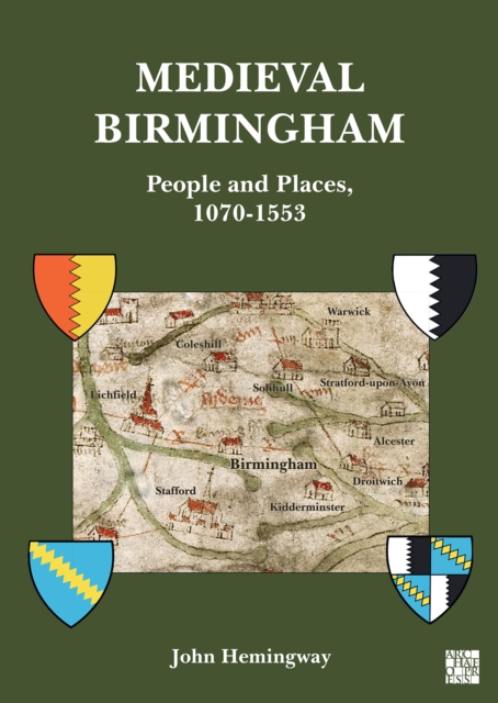
Medieval Birmingham
Medieval Birmingham: People and Places, 1070-1553 ,
attempts to show through documentary and archaeological evidence
how it evolved from a village into its present role as the second
city of the United Kingdom. It looks at the lives of the Bermingham
family, who owned the town and ruled the townsmen. It looks at
their retinue, who held surrounding manors in the area. It tells of
the various wars both served in - civil and overseas. The medieval
period was a time when the Christian church had great power, and
its role in the manor is told, examining the canons of the priory,
the friars and the parish priests. Probably the most important
element were the inhabitants of the town, for it was they that
built it up through trade, and their lives, occupations and
physical surroundings form the final section of the book.
eBook

'Geography matters': the role distance plays in reproducing educational inequality in East London
There is a longstanding literature on the unequal geographical distribution of welfare. In this paper we argue that increasingly geography is becoming the basis for rationing access to some forms of welfare. Focusing on access to secondary schools in East London, England, where the demand for places at the more popular schools generally far exceeds the number of places available, we show how distance from school has now become the primary means of allocating places. Rather than educational resources attempting to compensate for geographical disadvantage, geography (in the form of distance from school) has become the rationale by which those living in advantaged areas continue to have privileged access to educational resources. Whereas previously the role of the state was to compensate for the unfairness of such geographical inequalities, geography (via distance to school) is now used to justify the unequal allocation of scarce school places. The paper demonstrates that not only does the near universal adoption of distance-based allocation policies in East London lead to the reproduction of social advantage and disadvantage, but also it is creating new hierarchies of school popularity and more important unpopularity which are not always clearly related to issues of school attainment.
Journal Article