
Catalogue Search | MBRL


Are you sure you want to remove the book from the shelf?

{{itemTitle}}
7,614
result(s) for
"Flood prevention"
Sort by:

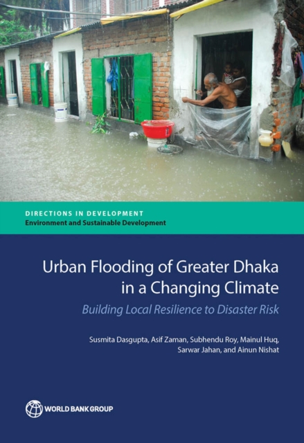
Urban flooding of greater Dhaka in a changing climate
Dhaka, the capital of Bangladesh and one of the world's rapidly growing megacities, is an urban hotspot for climate risks. Located in central Bangladesh on the lower reaches of the Ganges-Brahmaputra Delta, the city faces the recurring phenomena of urban flooding and waterlogging following intense rainfall nearly every year. As a low-elevation city with a tropical monsoon climate, Dhaka has a long history of river flooding as a natural hazard. Recent major floods have been worse in terms of depth and extent of inundation and duration, especially in fringe areas, where many of the city's poor reside. Rapid, unplanned urbanization and the gradual filling up of low-lying flood plains, rivers, canals, and other water bodies traditionally used to drain or retain water during rainfall have exacerbated the problem. A growing concern is that, in a changing climate, characterized by heavier and more erratic rainfall in the Ganges-Brahmaputra-Meghna (GBM) Basin during the monsoon season, the situation may worsen. The analysis in this book will help Bangladesh's policy makers take targeted steps to mitigate urban flooding in Dhaka and improve the city's resilience in the face of climate change and variability. Equipped with a host of investment options designed to address current flooding and further climate-proof urban infrastructure, local decision makers will be able to develop realistic, yet effective, strategies that prioritize interventions and sequence activities.
eBook


Coordination between flood prevention capacity and urbanization under climate change in the Yangtze River Economic Belt, China
Under the impact of increasingly uncertain climate change, flood prevention capacity (FPC) in the process of urbanization has attracted more attention. Therefore, this study constructed a framework to explore the coordination relationship between FPC and urbanization from a coupling and decoupling perspective. Using panel data of the Yangtze River Economic Belt (YREB) from 2000 to 2022, the indicator system was constructed. The coupling coordination model and Tapio decoupling model were used to analyze the coordination between urbanization and FPC. Spatial Markov chains and Dagum Gini coefficients were used to characterize the dynamic evolution and regional differences in the coupling coordination. The main barrier factors were also investigated using the barrier degree model. The results show that the level of urbanization in the YREB is fluctuating and increasing overall, and the downstream areas have stronger FPC. The coupling coordination degree is unbalanced, with a gradual increase from west to east. Inter-regional differences are the main source limiting their coordinated development. The subsystem of FPC influences 71.11% of barriers. The decoupling state has not yet significantly improved from 2000 to 2022, mainly including strong decoupling, strong negative decoupling and expansive negative decoupling.
Journal Article

Framework for dynamic modelling of urban floods at different topographical resolutions
Urban flood risks and their impacts are expected to increase as urban development in flood prone areas continues and rain intensity increases as a result of climate change while aging drainage infrastructures limit the drainage capacity in existing urban areas. The research presented in this thesis addresses the problem of capturing small-scale features in coarse resolution urban flood models with the aim of improving flood forecasts in geometrically complex urban environments.
Book

Improving Flood Management, Prediction and Monitoring
This volume presents chapters highlighting the methodologies and tools developed to improve flood management and flood risk reduction.
eBook
Using risk analysis for flood protection assessment
This book explores the benefits of using risk analysis techniques in the evaluation of flood protection structures, and examines the results of the environmental impact assessment for selected planned flood protection projects. The objective of the book is to propose a methodology for environmental impact assessment in water management. In more detail, flood mitigation measures are investigated with the aim of selecting the best option for the approval process. This methodology is intended to streamline the process of environmental impact assessment for structures in the field of the water management. The book?s environmental impact assessment system for water management structures analyzes the respective risks for different options. The results are intended to support the selection of future projects that pose minimum risks to the environment. Comparison of alternatives and designation of the optimal variant are implemented on the basis of selected criteria that objectively describe the characteristics of the planned alternatives and their respective impacts on the environment. The proposed Guideline for environmental impact assessment of flood protection objects employs multi-parametric risk analysis, a method intended to not only enhance the transparency and sensitivity of the evaluation process, but also successfully addresses the requirements of environmental impact assessment systems in the European Union. These modifications are intended to improve the outcomes of the environmental impact assessment, but may also be applied to other infrastructure projects. The case study proves that the primary aim? to improve transparency and minimize subjectivity in the environmental impact assessment process specific to flood protection structure projects? is met for the planned project in Kruézlov, Slovakia.
Book
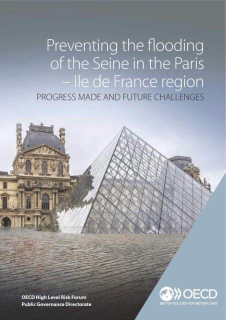
Preventing the Flooding of the Seine in the Paris–Ile de France Region
The risk of the Seine flooding the Ile de France region is a major one. In 2014, the OECD estimated that flooding comparable to the historic 1910 flood could affect up to 5 million citizens and cause damage costing up to 30 billion euros. This update tracks the progress made since 2014 and identifies remaining challenges.
eBook

Seek higher ground : the natural solution to our urgent flooding crisis
\"With Seek Higher Ground, environmental writer and former land-use planner Tim Palmer explores the legacy of flooding in America with a fresh look that addresses the emerging climatic, economic, and ecological realities of our rivers and communities. Global warming is forecast to sharply intensify flooding, and Seek Higher Ground urges that we reduce future damage in the most effective, efficient, and equitable ways possible. Through historical narrative, rigorous reporting, and decades of vivid personal experience, Palmer details how our society's approach to flood control has been infamously inadequate and chronically counterproductive. He builds a compelling case for both the protection of floodplain open space and for programs that help people voluntarily relocate the most threatened homes away from high-water hazards. Only by recognizing the indomitable forces of nature, and adapting to them, can we thrive in the challenging climate to come\"-- Provided by publisher.
BOOK

Changing climate both increases and decreases European river floods
Climate change has led to concerns about increasing river floods resulting from the greater water-holding capacity of a warmer atmosphere. These concerns are reinforced by evidence of increasing economic losses associated with flooding in many parts of the world, including Europe. Any changes in river floods would have lasting implications for the design of flood protection measures and flood risk zoning. However, existing studies have been unable to identify a consistent continental-scale climatic-change signal in flood discharge observations in Europe, because of the limited spatial coverage and number of hydrometric stations. Here we demonstrate clear regional patterns of both increases and decreases in observed river flood discharges in the past five decades in Europe, which are manifestations of a changing climate. Our results-arising from the most complete database of European flooding so far-suggest that: increasing autumn and winter rainfall has resulted in increasing floods in northwestern Europe; decreasing precipitation and increasing evaporation have led to decreasing floods in medium and large catchments in southern Europe; and decreasing snow cover and snowmelt, resulting from warmer temperatures, have led to decreasing floods in eastern Europe. Regional flood discharge trends in Europe range from an increase of about 11 per cent per decade to a decrease of 23 per cent. Notwithstanding the spatial and temporal heterogeneity of the observational record, the flood changes identified here are broadly consistent with climate model projections for the next century, suggesting that climate-driven changes are already happening and supporting calls for the consideration of climate change in flood risk management.
Journal Article