
Catalogue Search | MBRL


Are you sure you want to remove the book from the shelf?

{{itemTitle}}
5,187
result(s) for
"Land utilization"
Sort by:

Exploring the eco-efficiency of cultivated land utilization and its influencing factors in black soil region of Northeast China under the goal of reducing non-point pollution and net carbon emission
To realize maximum benefits and minimize environment pollution, the eco-efficiency of cultivated land utilization (ECLU) is becoming a vital indicator in weighing the rationality of regional land use. Scientific analysis of spatial–temporal pattern variations, as well as factors influencing the ECLU, is of great significance to cultivated land protection, economic development and ecological environment protection in black soil region of Northeast China, and has become a global strategic issue related to the sustainable development. However, assessments of the indicators are still incomplete, the lack of information may inhibit planning guideline for the sustainable development of cultivated land resources. Thus, this study attempts to fill the gaps by incorporating the net carbon sink and non-point source pollution emissions into the measurement framework of ECLU. The super-efficiency slack-based measure (SBM) model with undesirable output and the Malmquist–Luenberger (ML) index were used to measure the ECLU and changes in the total factor productivity (TFP) of cultivated land use in the Songnen Plain from 1989 to 2019. Moran index and LISA clustering were used to reveal spatial correlation of ECLU, and Kernel density estimation, and trend surface analysis maps were drawn to analyze variation tendency of the ECLU. Geographical detector model was employed to further analyze the influencing factors of ECLU. The study results revealed that: (1) The ECLU showed an overall development trend of \"rising first and then declining\", all of which were below the frontier efficiency. (2) The polarization of ECLU is prominent, and the ECLU had a significant heterogeneity and spatial correlation. (3) The TFP showing an increasing trend, technological progress is the main driving force to promote the progress of TFP, while the technological efficiency is the bottleneck for increasing the TFP of the cultivated land use. (4) According to the magnitude of influencing factor, increasing agricultural science and technology investments, lowering carbon emission, and controlling agrochemical investment could significantly enhance the ECLU. These findings have important implications for promoting high-efficient, low-carbon utilization of cultivated land resources and sustainable regional development in black soil region of Northeast China.
Journal Article

The Social Lives of Land
From the shaping of new homelands in the Cherokee Nation
to the export of sand from Cambodia to shore up urban expansion in
Singapore, The Social Lives of
Land reveals the dynamics of contemporary
social and political change.
The editors of this volume bring together contributions from
across multiple disciplines and geographic locations. The
contributions showcase novel theoretical and empirical insights,
analyzing how people are living on, with, and from their land. From
Mozambique to India, Indonesia, Ecuador, and the colonial United
States, the scholars in this collection uncover histories and
retell stories with a focus on the lived experiences of rural and
urban land dispossession and repossession.
Contributors: Kati Álvarez, Clint Carroll, Flora Lu, Richard
Mbunda, Gregg Mitman, Paul Nadasdy, Robert Nichols, Andrew
Ofstehage, Laura Schoenberger, Kirsteen Shields, Emmanuel Sulle,
Erik Swyngedouw, Gabriela Valdivia, Katherine Verdery, Callum Ward,
Ciara Wirth, Emmanuel King Urey Yarkpawolo
eBook

Advancing Land Change Modeling
People are constantly changing the land surface through construction, agriculture, energy production, and other activities. Changes both in how land is used by people (land use) and in the vegetation, rock, buildings, and other physical material that cover the Earth's surface (land cover) can be described and future land change can be projected using land-change models (LCMs). LCMs are a key means for understanding how humans are reshaping the Earth's surface in the past and present, for forecasting future landscape conditions, and for developing policies to manage our use of resources and the environment at scales ranging from an individual parcel of land in a city to vast expanses of forests around the world.
Advancing Land Change Modeling: Opportunities and Research Requirements describes various LCM approaches, suggests guidance for their appropriate application, and makes recommendations to improve the integration of observation strategies into the models. This report provides a summary and evaluation of several modeling approaches, and their theoretical and empirical underpinnings, relative to complex land-change dynamics and processes, and identifies several opportunities for further advancing the science, data, and cyberinfrastructure involved in the LCM enterprise. Because of the numerous models available, the report focuses on describing the categories of approaches used along with selected examples, rather than providing a review of specific models. Additionally, because all modeling approaches have relative strengths and weaknesses, the report compares these relative to different purposes. Advancing Land Change Modeling's recommendations for assessment of future data and research needs will enable model outputs to better assist the science, policy, and decisionsupport communities.
eBook
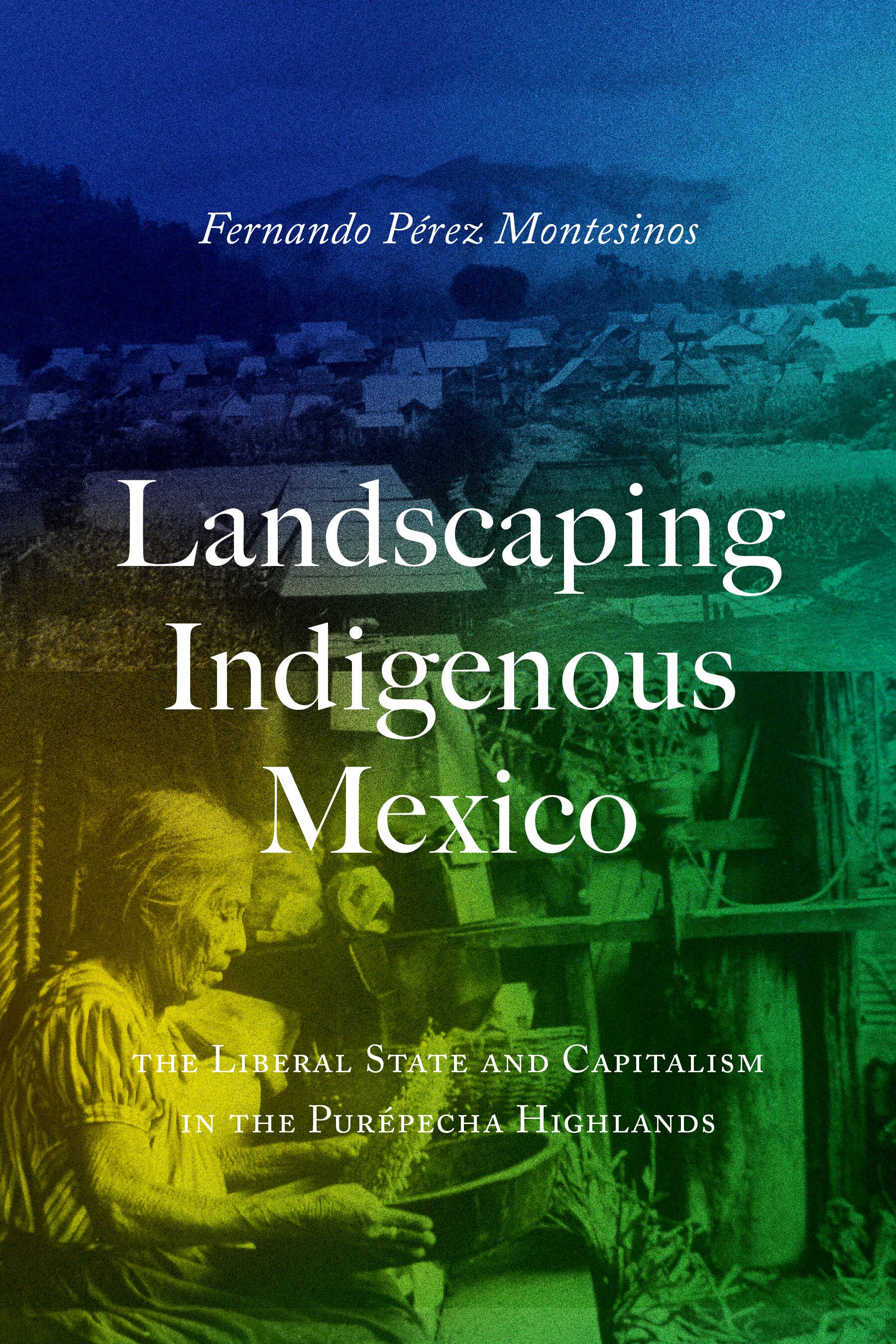
Landscaping Indigenous Mexico
A history of the Purépecha people's survival amid environmental and political changes. Landscapes are more than geological formations; they are living records of human struggles. Landscaping Indigenous Mexico unearths the history of Juátarhu, an Indigenous landscape shaped and nurtured by the Purépecha—a formidable Mesoamerican people whose power once rivaled that of the Aztecs. Although cataclysmic changes came with European contact and colonization, Juátarhu's enduring agroecology continued to sustain local life through centuries of challenges. Contesting essentialist narratives of Indigenous penury, Pérez Montesinos shows how Purépechas thrived after Mexican independence in 1821, using Juátarhu's diverse agroecology to negotiate continued autonomy amid waves of national economic and political upheaval. After 1870, however, autonomy waned under the pressure of land privatization policies, state intervention, and industrial logging. On the eve of the Mexican Revolution in 1910, Purépechas stood at a critical juncture: Would the Indigenous landscape endure or succumb? Offering a fresh perspective on a seemingly well-worn subject, Pérez Montesinos argues that Michoacán, long considered a peripheral revolutionary region, saw one of the era's most radical events: the destruction of the liberal order and the timber capitalism of Juátarhu.
eBook

Lairds, land and sustainability
Scotland is at the heart of modern sustainable upland management. This collection of cutting edge studies is a first-to-press synthesis of studies carried out by the Centre for Mountain Studies at Perth College, which will be both enlightening and relevant to upland managers across Britain and Europe.
eBook

Contributions of Land Utilization Differences and Changes in Zhongyuan Urban Agglomeration to Regional Thermal Environment
Accelerated urbanization has given rise to sharp environmental changes in urban underlying surfaces, thus changing the regional thermal environment and endangering the ecosystem balance. The thermal environment is complex, and the influence laws of land utilization differences and changes in the thermal environment in different seasons and under different daytime and nighttime conditions are unclear. In this regard, effective measures should be implemented to reduce the regional thermal environmental effect and determine the influence laws of land utilization differences and changes in the regional thermal environment. Zhongyuan urban agglomeration was applied as the study area. Two-year MODIS eight-day synthesized surface temperature product and land utilization monitoring data were obtained by remote sensing and used to analyze the influencing characteristics of different cities and land utilization types on the thermal environment of urban agglomeration from the angles of interannual differences and seasonal differences. During 2010-2018, the area changes in different land utilization types in the study area are significant with decreasing farmland area and increasing forest land and construction land. The farmland and forest land have the most significant influences on the regional thermal environment, where the farmland exerts a warming effect on the regional thermal environment and the forest land exerts a cooling effect. In different seasons and under different daytime and nighttime conditions, the construction land shows a strong warming effect on the regional thermal environment. The contribution indices of Changzhi city and Jincheng city to the thermal environment of the urban agglomeration are negative, so they exert the cooling effect. The warming or cooling role played by Handan city, Liaocheng city, and Xingtai city in the thermal environment is transited under different daytime and nighttime conditions, namely, they exert the warming effect in the day
Journal Article

New York for Sale
Remarkably, grassroots-based community planning flourishes in New York City -- the self-proclaimed \"real estate capital of the world\" -- with at least seventy community plans for different neighborhoods throughout the city. Most of these were developed during fierce struggles against gentrification, displacement, and environmental hazards, and most got little or no support from government. In fact, community-based plans in New York far outnumber the land use plans produced by government agencies. InNew York for Sale, Tom Angotti tells some of the stories of community planning in New York City: how activists moved beyond simple protests and began to formulate community plans to protect neighborhoods against urban renewal, real estate mega-projects, gentrification, and environmental hazards. Angotti, both observer of and longtime participant in New York community planning, focuses on the close relationships among community planning, political strategy, and control over land. After describing the political economy of New York City real estate, its close ties to global financial capital, and the roots of community planning in social movements and community organizing, Angotti turns to specifics. He tells of two pioneering plans forged in reaction to urban renewal plans (including the first community plan in the city, the 1961 Cooper Square Alternate Plan -- a response to a Robert Moses urban renewal scheme); struggles for environmental justice, including battles over incinerators, sludge, and garbage; plans officially adopted by the city; and plans dominated by powerful real estate interests. Finally, Angotti proposes strategies for progressive, inclusive community planning not only for New York City but for anywhere that neighborhoods want to protect themselves and their land.New York for Saleteaches the empowering lesson that community plans can challenge market-driven development even in global cities with powerful real estate industries
eBook

Ecologies of Empire in South Asia, 1400-1900
The perception, valuation, and manipulation of human
environments all have their own layered histories. So Sumit Guha
argues in this sweeping examination of a pivotal five hundred years
when successive empires struggled to harness lands and peoples to
their agendas across Asia. Ecologies of Empire in South Asia,
1400-1900 compares the practices of the Mughal and British
Empires to demonstrate how their fluctuating capacity for
domination was imbricated in the formation of environmental
knowledge itself.
The establishment of imperial control transforms local knowledge
of the world into the aggregated information that reproduces
centralized power over it. That is the political ecology that
reshapes entire biomes. Animals and plants are translocated; human
communities are displaced or destroyed. Some species proliferate;
others disappear. But these state projects are overlaid upon the
many local and regional geographies made by sacred cosmologies and
local sites, pilgrimage routes and river fords, hot springs and
fluctuating aquifers, hunting ranges and nesting grounds, notable
trees and striking rocks.
Guha uncovers these ecological histories by scrutinizing
little-used archival sources. His historically based political
ecology demonstrates how the biomes of a vast subcontinent were
changed by struggles to make and to resist empire.
eBook

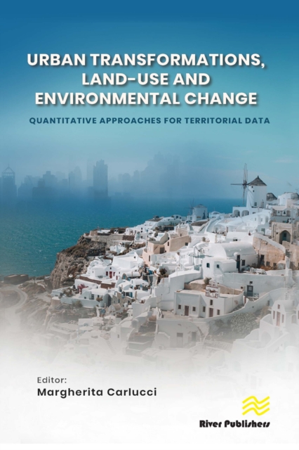
Urban Transformations, Land-use, and Environmental Change: Quantitative Approaches for Territorial Data
This book provide interesting insights for the identification of socioeconomic, demographic and territorial factors that affect structural disparities in local economies. Urban development is the result of demographic dynamics at the local level, connected to socioeconomic factors, and of economic growth, whose fluctuations are particularly sensitive to the economic cycle in countries, such as the ones in the Mediterranean basin, characterized by greater informality of the sector and limited public/social housing. Our objective is to provide a contribution to sustainability planning, explaining the linkage between forms of urban development and economic growth, providing policy indications for integrated spatial planning, and for cohesion policies that may leverage social and economic competitiveness.
eBook