
Catalogue Search | MBRL


Are you sure you want to remove the book from the shelf?

{{itemTitle}}
14
result(s) for
"Malta Gozo Island."
Sort by:

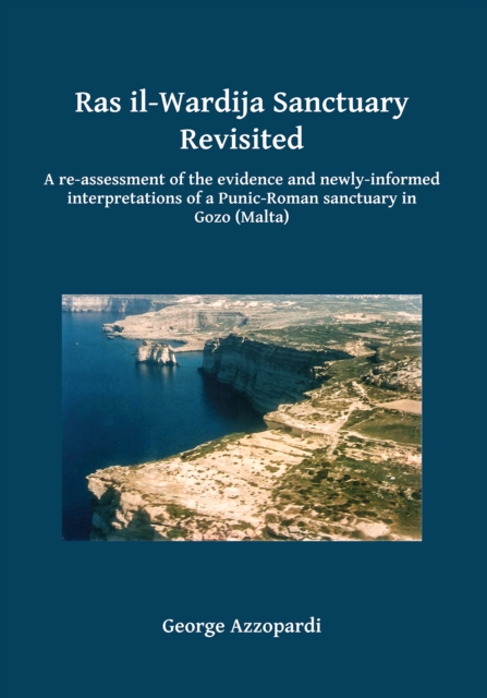
Ras il-Wardija Sanctuary Revisited
The secluded sanctuary on the coastal promontory of Ras il-Wardija on the central Mediterranean island of Gozo (near Malta) constitutes another landmark on the religious map of the ancient Mediterranean. Ritual activity at the sanctuary seems to be evidenced from around the 3rd century BC to the 2nd century AD and, possibly, even as late as the 4th century AD. This ritual activity was focused in a small built temple and in a rock-cut cave that seems to have incorporated a built extension in a later stage. But the practised cult or cults were aniconic and remained so largely throughout. This may explain why the sanctuary’s excavators did not report any findings of statuettes or any figural images. Contemporaneously, figural images were also venerated on other sites showing that, for a long while, iconism and aniconism co-existed on the Maltese islands. There might have been more than one deity venerated in this sanctuary. Dionysos could have been one of them. But whoever they were, they are likely to have been somehow connected with the sea and / or with a maritime community or communities as the sanctuary itself evidently was.
eBook

Malta & Gozo
Lonely Planet's Malta & Gozo is your passport to the most relevant, up-to-date advice on what to see and skip, and what hidden discoveries await you. Wander prehistoric temples, fossil-studded cliffs and hidden coves; explore an underwater world with a scuba diving or snorkelling trip; and discover a history of remarkable intensity. All with your trusted travel companion. Get to the heart of Malta & Gozo and begin your journey now!
Book
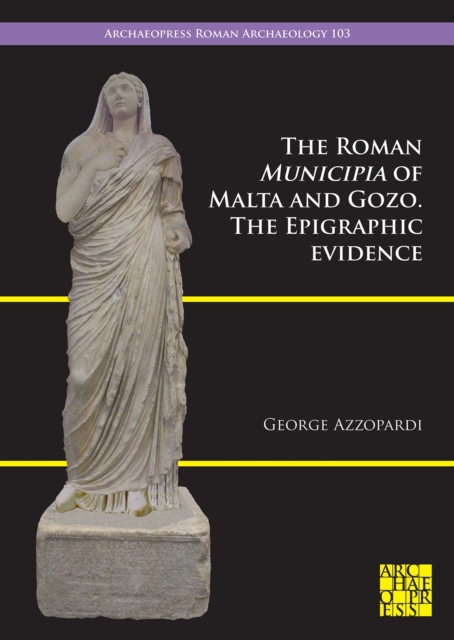
The Roman Municipia of Malta and Gozo
How did the Maltese and Gozitans fare under Roman occupation? How were they treated by their new masters? And what did they do to appease them? What changes did the new political situation bring about in their lives? How did they respond and / or adapt? Was their religious identity in any way affected? How did they manoeuvre their loyalties to their own benefits? And how did they manage their own domestic affairs within the new political set-up? Though based essentially on epigraphical evidence, this study seeks to address the above and other questions through an exercise in which epigraphy and the archaeological record supplement each other. The results shed new light on the governing bodies of the Maltese islands in Roman times and the models they followed, those who administered them, the latter's role and status, and also their relationship with and their significance for the rest of the population.
eBook

Malta & Gozo
Discover these sun-drenched islands with this handy, pocket-sized book. Whether you plan to explore Malta's record number of World Heritage Sites, relax on the burnished sands of Gozo's Ramla Bay or swim in the crystal-clear waters of the Blue Lagoon on tiny Comino, Pocket Rough Guide Malta and Gozo will show you the ideal places to sleep, eat, drink, shop and visit along the way. Perfect for short trips: compact and concise, with all the practical info you'll need for a few days' stay.
Book
Gozo : one island, two opera houses
Grand opera in an unlikely setting. The small island of Gozo (right next to Malta) has 30,000 inhabitants and two opera houses. This means it has more opera per square mile than any other place in the world. The organization, the staging, and much of the singing are all done by amateurs. The only trouble is, there is no love lost between the two houses. There are two conductors, two choruses, two teams of stage workers and organizers and behind it all two rival clans whose sole ambition every year is to come out on top in the great operatic singing match. But there is one thing they do have to share: the orchestra. Malta only has one to its name. In the middle of the fray we find Maltese star tenor Joseph Calleja. As a teenager he earned his singing spurs in Gozo, and now he comes back to the island every year to act as a mediator. The film observes opera-crazy volunteers and amateur musicians engaging in the annual tussle for the best Verdi performance in the Mediterranean and international tenor Joseph Calleja doing his level best to keep things from getting out of hand. A film about no-holds-barred commitment, a passionate love of music, and how cut-throat rivalry can bring forth genuine art.
Streaming Video

WebGIS Implementation for Dynamic Mapping and Visualization of Coastal Geospatial Data: A Case Study of BESS Project
Within an E.U.-funded project, BESS (Pocket Beach Management and Remote Surveillance System), the notion of a geographic information system is an indispensable tool for managing the dynamics of georeferenced data and information for any form of territorial planning. This notion was further explored with the creation of a WebGIS portal that will allow local and regional stakeholders/authorities obtain an easy remote access tool to monitor the status of pocket beaches (PB) in the Maltese Archipelago and Sicily. In this paper, we provide a methodological approach for the implementation of a WebGIS necessary for very detailed dynamic mapping and visualization of geospatial coastal data; the description of the dataset necessary for the monitoring of coastal areas, especially the PBs; and a demonstration of a case study for the PBs of Sicily and Malta by using the methodology and the dataset used during the BESS project. Detailed steps involved in the creation of the WebGIS are presented. These include data preparation, data storage, and data publication and transformation into geo-services. With the help of different Open Geospatial Consortium protocols, the WebGIS displays different layers of information for 134 PBs including orthophotos, sedimentological/geomorphological beach characteristics, shoreline evolution, geometric and morphological parameters, shallow water bathymetry, and photographs of pocket beaches. The WebGIS allows not only for identifying, evaluating, and directing potential solutions to present and arising issues, but also enables public access and involvement. It reflects a platform for future local and regional coastal zone monitoring and management, by promoting public/private involvement in addressing coastal issues and providing local public administrations with an improved technology to monitor coastal changes and help better plan suitable interventions.
Journal Article

Coastal Vulnerability Assessment along the North-Eastern Sector of Gozo Island (Malta, Mediterranean Sea)
The coastal landscape of the Maltese Islands is the result of long-term evolution, influenced by tectonics, geomorphological processes, and sea level oscillations. Due to their geological setting, the islands are particularly prone to marine-related and gravity-induced processes, exacerbated by climate change. This study aligns different concepts into a relatively concise and expedient methodology for overall coastal vulnerability assessment, taking the NE sector of Gozo Island as a test case. Geomorphological investigation, integrated with analysis of marine geophysical data, enabled characterization of coastal dynamics, identifying this stretch of coast as being potentially hazardous. The study area features a high economic value derived from tourist and mining activities and natural protected areas, that altogether not only make coastal vulnerability a major concern but also the task of assessing it complex. Before introducing the methodology proposed for overall vulnerability assessment, an in-depth revision of the vulnerability concept is provided. The evaluation was carried out by using a set of key indicators related to local land use, anthropic and natural assets, economic activities, and social issues. Results show that the most critical areas are located east of Marsalforn including Ramla Bay, an important tourist attraction hosting the largest sandy beach in Gozo. The method combines physical exposure and social vulnerability into an overall index. It proves to be cost effective in data management and processing and is suitable for the identification and assessment of overall vulnerability of coastal areas to consequences of climate- and marine-related processes, such as coastal erosion, landslides and sea level rise.
Journal Article

Engineering Geological and Geophysical Investigations to Characterise the Unstable Rock Slope of the Sopu Promontory (Gozo, Malta)
Different engineering geological and geophysical investigations were performed at the Sopu promontory in the island of Gozo (Malta), involved in an impressive lateral spreading process due to the superimposition of a stiff limestone (ULC) on a ductile clay (BC). The applied techniques include: traditional geological and engineering geological surveys, unmanned aerial vehicles (UAV) survey, electrical resistivity tomography (ERT) survey, ground-penetrating radar (GPR) investigations, single-station seismic ambient noise measurements, and array seismic ambient noise measurements. The integration of the obtained results allowed us to reconstruct a subsoil model of the promontory that includes features related to the local geology of the slope and to the landslide process, as well as to define a conceptual model that describes the main evolution phases of the expansion process. The presence of back-tilted rock blocks with no features of polarization of Rayleigh waves evidenced the different failure mechanism of the rigid UCL plateau at the Sopu promontory with respect to the Selmun promontory, located in the close island of Malta, where the lateral spreading due to the same geological setting tends to produce unstable rock blocks with a toppling mechanism. This result encourages further future observations and analyses of this topic.
Journal Article

Maritimity in Stone: An Archaeology of Early Modern and Modern Ship Graffiti in the Maltese Islands (ca. 1530–1945)
Ship graffiti in Malta can be understood as an archaeological manifestation of a Mediterranean island’s maritime identity. The profusion and distribution of graffiti must be contextualized within local histories, naval powers, and maritime industry, and the ways these shaped the demographic and religious landscapes in the early modern period. Ship graffiti has the capacity to fill gaps in scholarship as well as raise important historical and archaeological questions. Technological advancements continue to revolutionize the documentation, study, and communication of graffiti sites. Systematic methodologies demonstrate the value of interpreting ship graffiti through an archaeological lens.
Journal Article