
Catalogue Search | MBRL


Are you sure you want to remove the book from the shelf?

{{itemTitle}}
40
result(s) for
"Photography Scientific applications."
Sort by:


Nature exposed : photography as eyewitness in Victorian science
In Nature Exposed, Jennifer Tucker studies the intersecting trajectories of photography and modern science in late Victorian Britain. She examines the role of photograph as witness in scientific investigation and explores the interplay between photography and scientific authority.
Almost immediately after the invention of photography in 1839, photographs were characterized as offering objective access to reality—unmediated by human agency, political ties, or philosophy. This mechanical objectivity supposedly eliminated judgment and interpretation in reporting and picturing scientific results.
But photography is a labor-intensive process that allows for, and sometimes requires, manipulation. In the late nineteenth century, the nature of this new technology sparked a complex debate about scientific practices and the value of the photographic images in the production and dissemination of scientific knowledge.
Recovering the controversies and commentary surrounding the early creation of scientific photography and drawing on a wide range of new sources and critical theories, Tucker establishes a greater understanding of the rich visual culture of Victorian science and alternative forms of knowledge, including psychical research.
eBook

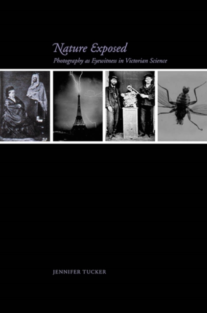
Nature exposed : photography as eyewitness in Victorian science
In Nature Exposed, Jennifer Tucker studies the intersecting trajectories of photography and modern science in late Victorian Britain. She examines the role of photograph as witness in scientific investigation and explores the interplay between photography and scientific authority. Almost immediately after the invention of photography in 1839, photographs were characterized as offering objective access to reality—unmediated by human agency, political ties, or philosophy. This mechanical objectivity supposedly eliminated judgment and interpretation in reporting and picturing scientific results. But photography is a labor-intensive process that allows for, and sometimes requires, manipulation. In the late nineteenth century, the nature of this new technology sparked a complex debate about scientific practices and the value of the photographic images in the production and dissemination of scientific knowledge. Recovering the controversies and commentary surrounding the early creation of scientific photography and drawing on a wide range of new sources and critical theories, Tucker establishes a greater understanding of the rich visual culture of Victorian science and alternative forms of knowledge, including psychical research.
eBook

Fundamentals of capturing and processing drone imagery and data
\"Unmanned Aircraft Systems are rapidly emerging as flexible platforms for capturing imagery and other data across sciences. Many colleges and universities are developing courses on UAS-based data acquisition. This book is a comprehensive, introductory text on how to use unmanned aircraft systems for data capture and analysis. It provides best practices for planning data capture missions and hands-on learning modules geared toward UAS data collection, processing, and applications. Readers will learn how to process different types of UAS imagery for applications such as Precision Agriculture, Forestry, Urban Landscapes, and apply this knowledge in environmental monitoring and land-use studies\"-- Provided by publisher.
Book

New mobile methods for dietary assessment: review of image-assisted and image-based dietary assessment methods
For nutrition practitioners and researchers, assessing dietary intake of children and adults with a high level of accuracy continues to be a challenge. Developments in mobile technologies have created a role for images in the assessment of dietary intake. The objective of this review was to examine peer-reviewed published papers covering development, evaluation and/or validation of image-assisted or image-based dietary assessment methods from December 2013 to January 2016. Images taken with handheld devices or wearable cameras have been used to assist traditional dietary assessment methods for portion size estimations made by dietitians (image-assisted methods). Image-assisted approaches can supplement either dietary records or 24-h dietary recalls. In recent years, image-based approaches integrating application technology for mobile devices have been developed (image-based methods). Image-based approaches aim at capturing all eating occasions by images as the primary record of dietary intake, and therefore follow the methodology of food records. The present paper reviews several image-assisted and image-based methods, their benefits and challenges; followed by details on an image-based mobile food record. Mobile technology offers a wide range of feasible options for dietary assessment, which are easier to incorporate into daily routines. The presented studies illustrate that image-assisted methods can improve the accuracy of conventional dietary assessment methods by adding eating occasion detail via pictures captured by an individual (dynamic images). All of the studies reduced underreporting with the help of images compared with results with traditional assessment methods. Studies with larger sample sizes are needed to better delineate attributes with regards to age of user, degree of error and cost.
Journal Article

Australasian nature photography
The bioregion of Australia, New Zealand, Antarctica and New Guinea possesses a unique natural heritage stretching back over 50 million years since the break-up of the great southern continent of Gondwanaland. The South Australian Museum focuses on enhancing a general knowledge of this extraordinary legacy by encouraging photography of the region's nature and wilderness, and promoting an annual competition to find the Nature Photographer of the Year. Australasian Nature Photography: ANZANG Eighth Collection presents the finest photographs submitted to the competition. Each photograph is accompanied by technical information as well as anecdotes about how the picture was taken, which will stimulate yet further interest in the flora and fauna and their conservation in the region.
eBook

Using artificial intelligence reading label system in diabetic retinopathy grading training of junior ophthalmology residents and medical students
Purpose
Evaluate the efficiency of using an artificial intelligence reading label system in the diabetic retinopathy grading training of junior ophthalmology resident doctors and medical students.
Methods
Loading 520 diabetic retinopathy patients’ colour fundus images into the artificial intelligence reading label system. Thirteen participants, including six junior ophthalmology residents and seven medical students, read the images randomly for eight rounds. They evaluated the grading of images and labeled the typical lesions. The sensitivity, specificity, and kappa scores were determined by comparison with the participants’ results and diagnosis gold standards.
Results
Through eight rounds of reading, the average kappa score was elevated from 0.67 to 0.81. The average kappa score for rounds 1 to 4 was 0.77, and the average kappa score for rounds 5 to 8 was 0.81. The participants were divided into two groups. The participants in Group 1 were junior ophthalmology resident doctors, and the participants in Group 2 were medical students. The average kappa score of Group 1 was elevated from 0.71 to 0.76. The average kappa score of Group 2 was elevated from 0.63 to 0.84.
Conclusion
The artificial intelligence reading label system is a valuable tool for training resident doctors and medical students in performing diabetic retinopathy grading.
Journal Article

An approach to reduce mapping errors in the production of landslide inventory maps
Landslide inventory maps (LIMs) show where landslides have occurred in an area, and provide information useful to different types of landslide studies, including susceptibility and hazard modelling and validation, risk assessment, erosion analyses, and to evaluate relationships between landslides and geological settings. Despite recent technological advancements, visual interpretation of aerial photographs (API) remains the most common method to prepare LIMs. In this work, we present a new semi-automatic procedure that makes use of GIS technology for the digitization of landslide data obtained through API. To test the procedure, and to compare it to a consolidated landslide mapping method, we prepared two LIMs starting from the same set of landslide API data, which were digitized (a) manually adopting a consolidated visual transfer method, and (b) adopting our new semi-automatic procedure. Results indicate that the new semi-automatic procedure (a) increases the interpreter's overall efficiency by a factor of 2, (b) reduces significantly the subjectivity introduced by the visual (manual) transfer of the landslide information to the digital database, resulting in more accurate LIMs. With the new procedure, the landslide positional error decreases with increasing landslide size, following a power-law. We expect that our work will help adopt standards for transferring landslide information from the aerial photographs to a digital landslide map, contributing to the production of accurate landslide maps.
Journal Article

Researchers have finally created a tool to spot duplicated images across thousands of papers
Publishers would need to join forces to apply image-checking software across the literature.
Publishers would need to join forces to apply image-checking software across the literature.
Journal Article