
Catalogue Search | MBRL


Are you sure you want to remove the book from the shelf?

{{itemTitle}}
4
result(s) for
"Texas Historical geography Maps."
Sort by:

Texas : a historical atlas
Texas: A Historical Atlas accurately reflects the Lone Star State at the dawn of the twenty-first century. Its 86 entries feature 175 maps illustrating the most significant aspects of the state's history, geography, and current affairs. The heart of the book is its wealth of historical information. The exploration of Texas and its settlement by various peoples is covered, as well as modern and contemporary Texas with its hurricanes and highways, power plants and population trends.
Book
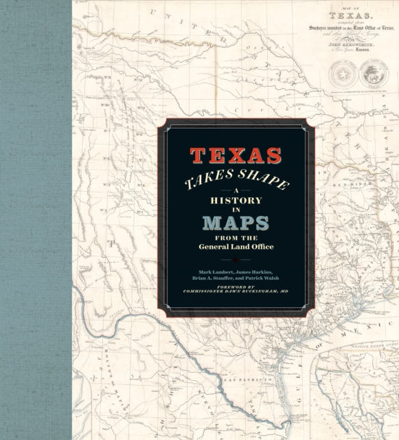
Texas Takes Shape
A comprehensive volume on historical mapping in Texas.The Texas General Land Office's map collection contains over 45,000 maps, some dating from the sixteenth century, making it one of the most important cartographic archives in Texas.
eBook

Social Relations Spatially Fixed: Construction and Maintenance of School Districts in San Antonio, Texas
More than 140 court cases filed in the United States between 1970 and 2003 argued that unacceptable and unconstitutional funding disparities exist among school districts in most states. In those arguments, stories, statistics, and maps are used to compare various school districts to prove that conditions are indeed unequal. Both sides-plaintiff and defendant-use such information to disprove each other's contentions. In so doing, each assumes that the political spaces of the school districts are absolute, timeless, and independent. Failure to recognize that these spaces-the school districts-are not objective but, in fact, constitutive of the class and race relations actually being argued and debated in court further legitimates local geographies of privilege and deprivation. I examine the formation of the school districts around San Antonio, Texas to illustrate that these districts are far from independent of one another and were formed to isolate privileged communities from the rest of the city. A relational view of space-time allows such spaces as school districts to assume a political role, as opposed to the absolute, independent spaces they now represent.
Journal Article