Catalogue Search | MBRL


Are you sure you want to remove the book from the shelf?

{{itemTitle}}
4,214
result(s) for
"Yellow River"
Sort by:

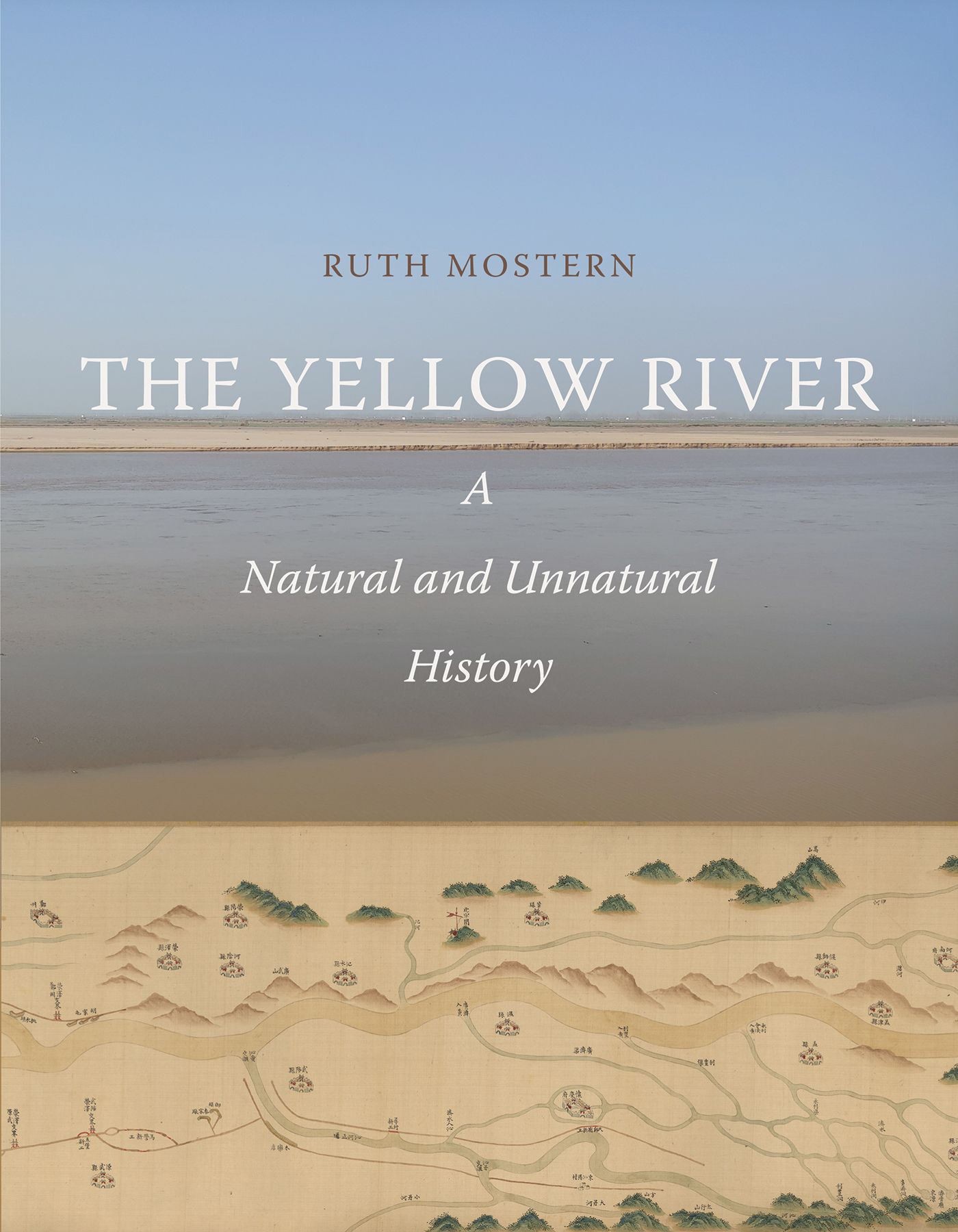
The Yellow River : a natural and unnatural history
A three-thousand-year history of the Yellow River and the legacy of interactions between humans and the natural landscape From Neolithic times to the present day, the Yellow River and its watershed have both shaped and been shaped by human society. Using the Yellow River to illustrate the long-term effects of environmentally significant human activity, Ruth Mostern unravels the long history of the human relationship with water and soil and the consequences, at times disastrous, of ecological transformations that resulted from human decisions. As Mostern follows the Yellow River through three millennia of history, she underlines how governments consistently ignored the dynamic interrelationships of the river's varied ecosystems—grasslands, riparian forests, wetlands, and deserts—and the ecological and cultural impacts of their policies. With an interdisciplinary approach informed by archival research and GIS (geographical information system) records, this groundbreaking volume provides unique insight into patterns, transformations, and devastating ruptures throughout ecological history and offers profound conclusions about the way we continue to affect the natural systems upon which we depend.
eBook


Impacts of Drought and Climatic Factors on Vegetation Dynamics in the Yellow River Basin and Yangtze River Basin, China
Understanding the impacts of drought and climate change on vegetation dynamics is of great significance in terms of formulating vegetation management strategies and predicting future vegetation growth. In this study, Pearson correlation analysis was used to investigate the correlations between drought, climatic factors and vegetation conditions, and linear regression analysis was adopted to investigate the time-lag and time-accumulation effects of climatic factors on vegetation coverage based on the standardized evapotranspiration deficit index (SEDI), normalized difference vegetation index (NDVI), and gridded meteorological dataset in the Yellow River Basin (YLRB) and Yangtze River Basin (YTRB), China. The results showed that (1) the SEDI in the YLRB showed no significant change over time and space during the growing season from 1982 to 2015, whereas it increased significantly in the YTRB (slope = 0.013/year, p < 0.01), and more than 40% of the area showed a significant trend of wetness. The NDVI of the two basins, YLRB and YTRB, increased significantly at rate of 0.011/decade and 0.016/decade, respectively (p < 0.01). (2) Drought had a significant impact on vegetation in 49% of the YLRB area, which was mainly located in the northern region. In the YTRB, the area significantly affected by drought accounted for 21% of the total area, which was mainly distributed in the Sichuan Basin. (3) In the YLRB, both temperature and precipitation generally had a one-month accumulated effect on vegetation conditions, while in the YTRB, temperature was the major factor leading to changes in vegetation. In most of the area of the YTRB, the effect of temperature on vegetation was also a one-month accumulated effect, but there was no time effect in the Sichuan Basin. Considering the time effects, the contribution of climatic factors to vegetation change in the YLRB and YTRB was 76.7% and 63.2%, respectively. The explanatory power of different vegetation types in the two basins both increased by 2% to 6%. The time-accumulation effect of climatic factors had a stronger explanatory power for vegetation growth than the time-lag effect.
Journal Article

The river, the plain, and the state : an environmental drama in Northern Song China, 1048-1128
\"On July 19, 1048, the Yellow River breached its banks, drastically changing its course across the Hebei Plain and turning it into a delta where the river sought a path out to the ocean. This dramatic shift of forces in the natural world resulted from political deliberation and hydraulic engineering of the imperial state of the Northern Song Dynasty. It created 80 years of social suffering, economic downturn, political upheaval, and environmental changes, which reshaped medieval North China Plain and challenged the state. Ling Zhang deftly applies textual analysis, theoretical provocation, and modern scientific data in her gripping analysis of how these momentous events altered China's physical and political landscapes and how its human communities adapted and survived. In so doing, she opens up an exciting new field of research by wedding environmental, political, economic, and social history in her examination of one of North China's most significant environmental changes\"-- Provided by publisher.
Book

Study on coupling coordination and spatiotemporal heterogeneity between economic development and ecological environment of cities along the Yellow River Basin
The Yellow River Basin (YRB) is an important ecological barrier and an important economic zone in China. Under the new requirements of realizing ecological protection and high-quality development of the YRB, the coordinated development of basin economic development and ecological environment is an urgent research topic. Taking 36 cities along the Yellow River Basin as samples, this paper constructs an evaluation index system of economic development and ecological environment. The coupling coordination model and geographical weighted regression were adopted to analyze the coupling coordination relationship between economic development and ecological environment from 2008 to 2017, and the influencing factors were analyzed. The results showed that (1) the coupling coordination of urban economic development and ecological environment along the YRB showed significant regional heterogeneity, forming a low-value sag of the Loess Plateau; (2) the regional hot spots in the downstream of the YRB continuously extended inland, while these in the midstream converged; (3) the coupling coordination degree between economic development and ecological environment is affected by factors such as population size, openness, and advanced industrial structure, and the intensity varies significantly among regions.
Journal Article


Climate and land use change impacts on water yield ecosystem service in the Yellow River Basin, China
The Yellow River Basin is an important water conservation and ecological barrier in China. Studying its water supply services is of great significance for the development of the Yellow River Basin and conservation of its ecosystems. This study is based on the InVEST model and scenario analysis method. We used data including land use cover, meteorology and soil type as inputs to analyze the spatial and temporal pattern of water yield in the Yellow River Basin from 1995 to 2018 and the impact of precipitation and land use change on water yield in the basin. The results show that from 1995 to 2018, the water yield in the Yellow River basin increased by 20,106 million m3, the high-value areas of water yield distributed in the southwest and southeast, the low-value areas distributed in the northwest region, and the spatial pattern of water yield changed insignificantly. From 1995 to 2005, the contribution rates of land use change and climate change to water production were 3.32% and 96.68%, respectively, and the contribution rates of land use change and climate change to water production from 1995 to 2018 were − 0.48% and 100.48%, respectively. In conclusion, the influence of precipitation on water production is more significant, and the effect of land use change on water production is smaller. This study reveals the temporal and spatial variation characteristics of water yield and its controlling factors in the Yellow River Basin, which is of great significance to the protection of ecological environment and the maintenance of ecological balance of the whole basin.
Journal Article

The ecology of war in China : Henan Province, the Yellow River, and beyond, 1938-1950
\"This book explores the interplay between war and environment in Henan Province, a hotly contested frontline territory that endured massive environmental destruction and human disruption during the conflict between China and Japan during World War II. In a desperate attempt to block Japan's military advance, Chinese Nationalist armies under Chiang Kai-shek broke the Yellow River's dikes in Henan in June 1938, resulting in devastating floods that persisted until after the war's end. Greater catastrophe struck Henan in 1942-3, when famine took some two million lives and displaced millions more. Focusing on these war-induced disasters and their aftermath, this book conceptualizes the ecology of war in terms of energy flows through and between militaries, societies, and environments. Ultimately, Micah Muscolino argues that efforts to procure and exploit nature's energy in various forms shaped the choices of generals, the fates of communities, and the trajectory of environmental change in North China\"-- Provided by publisher.
Book
Drought Monitoring over Yellow River Basin from 2003–2019 Using Reconstructed MODIS Land Surface Temperature in Google Earth Engine
Drought is one of the most complex and least-understood environmental disasters that can trigger environmental, societal, and economic problems. To accurately assess the drought conditions in the Yellow River Basin, this study reconstructed the Land Surface Temperature (LST) using the Annual Temperature Cycle (ATC) model and the Normalized Difference Vegetation Index (NDVI). The Temperature Condition Index (TCI), Vegetation Condition Index (VCI), Vegetation Health Index (VHI), and Temperature-Vegetation Drought Index (TVDI), which are four typical remote sensing drought indices, were calculated. Then, the air temperature, precipitation, and soil moisture data were used to evaluate the applicability of each drought index to different land types. Finally, this study characterized the spatial and temporal patterns of drought in the Yellow River Basin from 2003 to 2019. The results show that: (1) Using the LST reconstructed by the ATC model to calculate the drought index can effectively improve the accuracy of drought monitoring. In most areas, the reconstructed TCI, VHI, and TVDI are more reliable for monitoring drought conditions than the unreconstructed VCI. (2) The four drought indices (TCI, VCI, VH, TVDI) represent the same temporal and spatial patterns throughout the study area. However, in some small areas, the temporal and spatial patterns represented by different drought indices are different. (3) In the Yellow River Basin, the drought level is highest in the northwest and lowest in the southwest and southeast. The dry conditions in the Yellow River Basin were stable from 2003 to 2019. The results in this paper provide a basis for better understanding and evaluating the drought conditions in the Yellow River Basin and can guide water resources management, agricultural production, and ecological protection of this area.
Journal Article